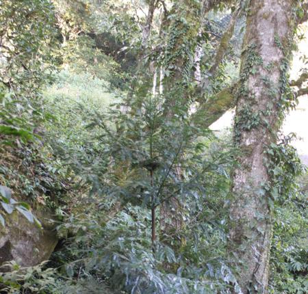
Xuan Nha Nature Reserve lies in Moc Chau district in the south-west of Son La province. To the south and east the nature reserve is bordered by Hoa Binh and Thanh Hoa provinces, while, to the west, it is bordered by Laos. The highest point in the nature reserve, Mount Pha Luong at 1,970 m, lies on the mountain ridge that forms the international border with Laos. The topography of the nature reserve is composed of two wide, shallow-sided valleys, which run eastward across the nature reserve from the Laotian border. The northern valley is formed by the Nha stream, while the southern valley is formed by the Nam Can stream. These two streams meet in the extreme south-east of the nature reserve, from where they flow south to join the Ma river.
Biodiversity values
Xuan Nha Nature Reserve supports 22,172 ha of natural forest. This is mostly evergreen forest but it includes 2,626 ha of limestone forest.
Scientists state that 456 species of plant occur at Xuan Nha Nature Reserve, including the globally threatened Madhuca pasquieri. In addition, the investment plan states that 160 mammal, 48 bird, 44 reptile and 19 amphibian species occur at the nature reserve, including several globally threatened species. However, the source of the faunal and floral data presented in the investment plan is not clear, and further studies are required to assess the biodiversity values of the site.
Forest inside the nature reserve has economic importance for local people as a source of timber and other forest products. The nature reserve protects part of the watershed of the Ma river, one of the main sources of water for domestic use and irrigation for households in Thanh Hoa province.
Vietnamnationalparks

